Blogs
Oct 03, 2024
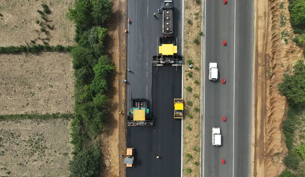
Achieving Resilient Road Infrastructure through Enhanced Surveying Techniques
As climate change intensifies and urbanization accelerates, global road infrastructure faces mounting pressure. With extreme weather events becoming more frequent, resilient road networks are critical to ensuring public safety, supporting economic growth, and enhancing societal well-being. Cutting-edge surveying technologies are now proving essential in building and maintaining roads that can withstand these challenges while improving overall efficiency.
Sep 20, 2024
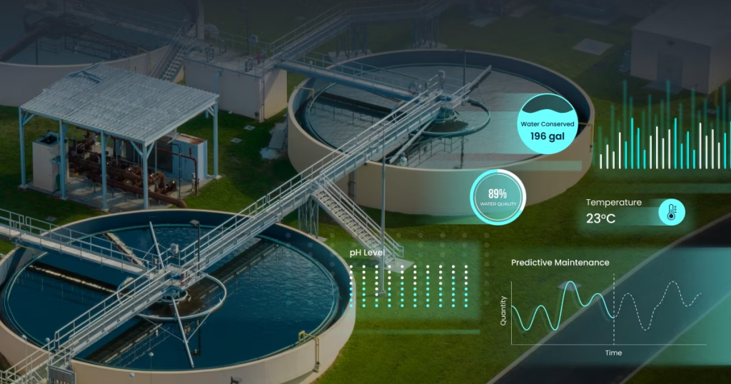
Smart Water Systems: Revolutionizing Resource Management with IoT and AI
Water scarcity and climate change are among the most pressing challenges humanity faces today. With the world’s population growing and water demand surging, innovative solutions are essential to manage, distribute, and conserve this precious resource. Smart water systems, leveraging the power of the Internet of Things (IoT) and Artificial Intelligence (AI), are emerging as crucial […]
Sep 03, 2024
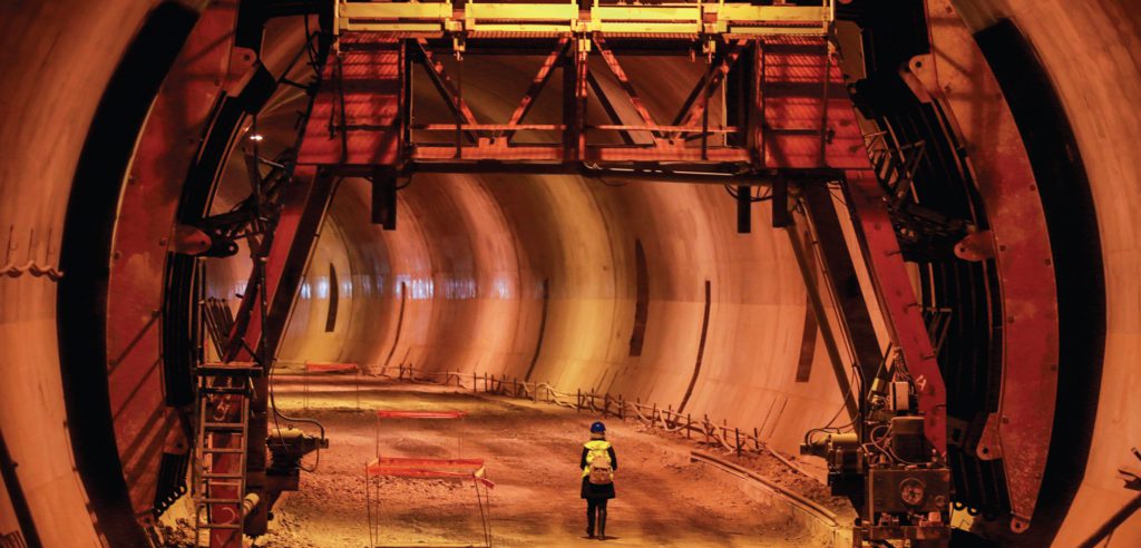
High-Altitude Construction: Overcoming Challenges with Advanced Engineering Techniques & Solutions
India’s high-altitude construction sector is a testament to the ingenuity and adaptability of its engineers. By embracing modern technology and sustainable practices, these professionals are overcoming formidable challenges, ensuring that infrastructure development in the Himalayas is not only possible but also resilient and sustainable.
Aug 11, 2023
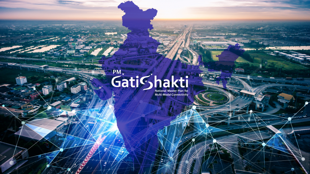
Transforming Road and Highway with Geospatial Insights under PM Gati Shakti Yojana
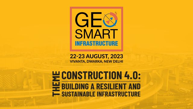
The Pradhan Mantri Gati Shakti National Master Plan is an ambitious project initiated by the Indian government to transform the country’s infrastructure. Unveiled by Prime Minister Narendra Modi on October 13, 2021, the Gati Shakti Yojana is a massive scheme worth Rs 100 lakh crore aimed at creating comprehensive infrastructure across India. Geospatial insights, as a key component of this initiative, are transforming road and highway development. To explore the potential of geospatial technology in infrastructure, the GeoSmart Infrastructure Conference is scheduled to be held on 22-23 August 2023 at Vivanta in Dwarka, New Delhi.
Aug 01, 2023
The Digital Build: Innovations in Construction for a Sustainable Future
The construction industry is at a pivotal point where the construction process needs to be redesigned and developed with more efficient and sustainable business processes. The industry must be agile enough to respond to events quicker and innovate faster than ever before to complete projects on time and within budget.

Aug 01, 2023
Geospatial Technology Strengthening India’s Infrastructure
Geospatial technology has emerged as a powerful tool in advancing disaster management practices in India. With its ability to capture, analyse, and visualize spatial data, geospatial technology provides valuable insights that help understand vulnerabilities, assess risks, and allocate resources in a timely, time-bound manner. For a country that is prone to various natural disasters such as floods, earthquakes, cyclones, and landslides, the use of geospatial technology has become critical for effective disaster preparedness and response efforts. This article explores the importance of disaster management in India, the role of geospatial technology in enhancing preparedness, and the government initiatives and agencies involved in leveraging this technology.

Aug 01, 2023
Collaboration of Geospatial Technology and BIM
The construction industry is rapidly evolving, driven by advancements in innovative solutions in technology. The BIM integration with GIS in the operation and maintenance stages is paving the way towards advancement in digital twin is the most transformative development of infrastructure development.